
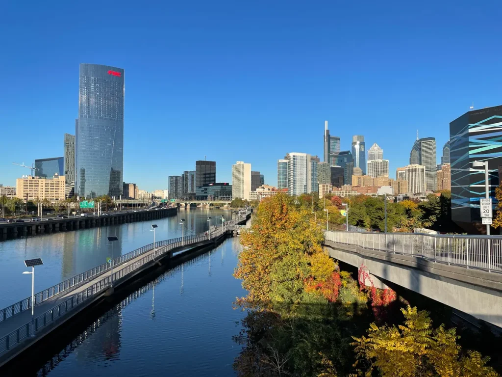

Choose a ride that suits the people going with you. Start with the surface, access and a practical way back.
Many people in my family ride for fun and exercise, so this guide is written for that kind of rider: someone who wants a pleasant outing, not a training session. The route details come from trail managers and public agencies. I’m not a cyclist myself and haven’t ridden every route, so use the linked official maps before you head out.
Philadelphia has riverfront paths and wooded routes within the city. Beyond it, there are rail-trails, a canal towpath and park routes worth considering for a separate day out. They aren’t all connected, paved or equally suitable for a casual ride.
Choose the kind of outing first
For a short city outing, start by looking at Schuylkill Banks or the Delaware River Trail. If you want woods and don’t mind gravel, look at Forbidden Drive. Outside the city, the Chester Valley Trail offers a paved option, while the Pennypack Trail’s Montgomery County section has crushed stone.
Those are starting points for planning, not a guarantee that a particular section is open or appropriate for every rider. The destination notes below link to the responsible organizations so you can check access, conditions and the route itself.
A simple out-and-back can make the first outing easier to manage. Decide where you’ll turn around before you set off. Remember that five miles away from your starting point means roughly ten miles of riding if you return the same way.
Schuylkill Banks: a city ride with river views
- Surface & route
- Riverfront riding · Philadelphia
- Riding consideration
- Check the specific segment. Planned connections may not be open.
A city ride with river views. Choose the segment, not just the trail name.
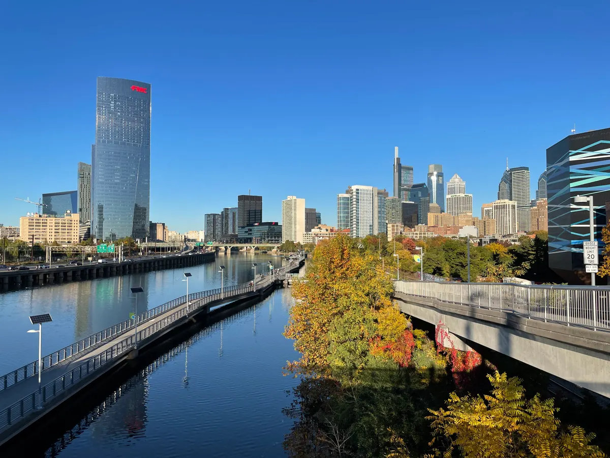
Schuylkill Banks is a place to look for an urban riverfront outing without committing to a long trip out of the city. Use the official access-point map to choose an entrance and a manageable section rather than entering “Schuylkill River Trail” into a map app and accepting whichever destination appears.
If you want to continue toward Manayunk or farther upriver, use the Schuylkill River Greenways trail resources to check the specific sections. A regional trail name is not proof of uninterrupted pavement or a traffic-free route from your front door.
Delaware River Trail: waterfront stops on the other side of town
- Surface & route
- Waterfront riding · Philadelphia
- Riding consideration
- Includes interim sections. Check crossings and access.
Waterfront stops for a ride on the other side of town.
Consider this for waterfront stops rather than distance alone. Use the official map to plan where to pause, such as Cherry Street Pier.
Check the exact segment you intend to use. Don’t read “waterfront trail” as a promise that every access point, crossing or connection is separated from traffic. Make room for other users and stop somewhere out of the way if you want to check directions or take a photo.
Forbidden Drive: woods and gravel in the Wissahickon

- Surface & route
- Gravel · Wissahickon Valley Park
- Riding consideration
- Shared with walkers and horses. Use bicycle-permitted trails.
Woods and gravel, with walkers and horses sharing the corridor.
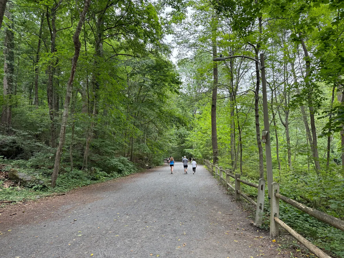
Forbidden Drive is the choice here for someone looking for a more wooded setting within Philadelphia. Friends of the Wissahickon describes it as a roughly five-mile gravel path along the creek, with easy grades. See its biking and activity guidance.
Check whether your bike and riding confidence suit gravel. The upper trails are not interchangeable with Forbidden Drive.
Pennypack Trail: a Montgomery County option near the city

- Surface & route
- Crushed stone · Montgomery County
- Riding consideration
- Road and active rail crossings. Follow dismount signs.
A rail-trail option close to the city, with crossings to plan around.
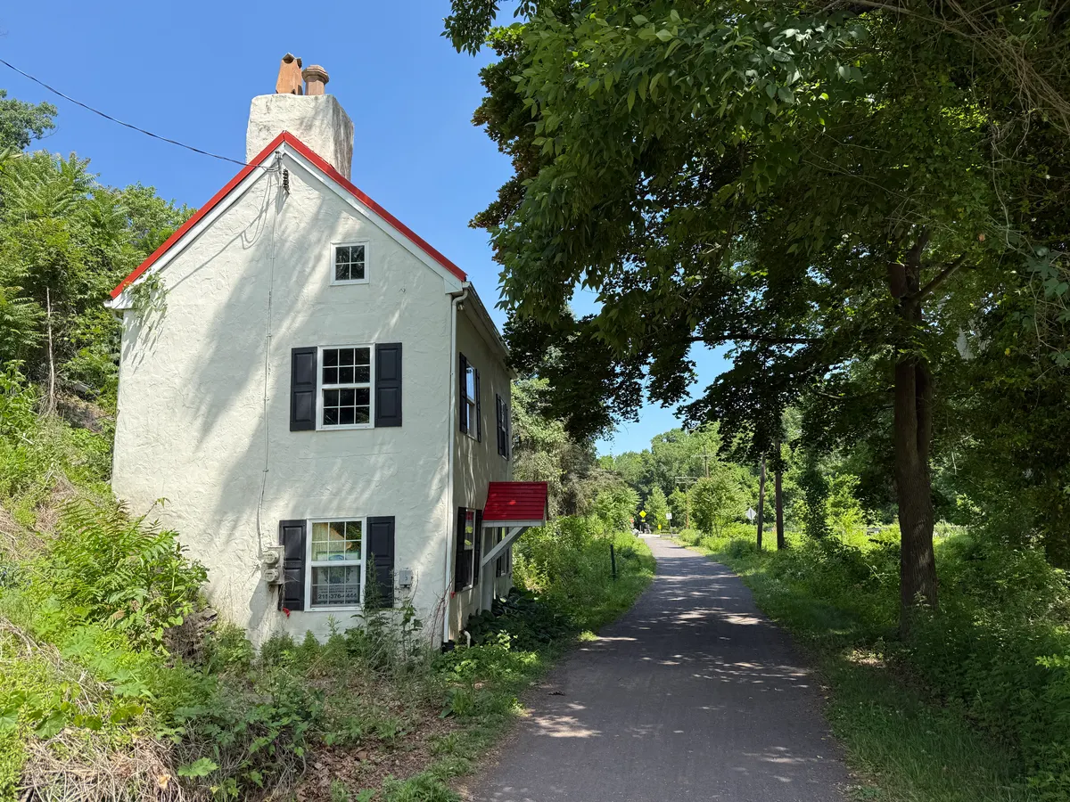
Be specific about which Pennypack route you mean. Montgomery County’s Pennypack Trail page describes a 6.2-mile crushed-stone trail from Rockledge Park north to County Line Road at the Bucks County border. That is not a description of every path in Philadelphia’s Pennypack Park.
Use the County’s map and crossing instructions. Follow signs to dismount, and obey signals at road and active rail crossings.
Chester Valley Trail: pavement through Chester and Montgomery counties

- Surface & route
- Asphalt · Chester and Montgomery counties
- Riding consideration
- A shared route with crossings, not a private cycle track.
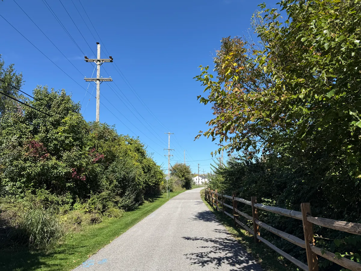
Pick a manageable stretch of this long paved corridor.
Compare this with the gravel options if your group prefers pavement. It’s still shared space, with crossings and signs to watch.
For an access point to investigate, the County lists Exton Park at 132 Church Farm Lane, along with other official trailheads. Choose the entrance that fits your planned section and check notices before travelling. Extensions shown in planning documents aren’t necessarily open for riding.
Valley Forge: history, but don’t overlook the hills

- Surface & route
- Paved five-mile loop · Valley Forge
- Riding consideration
- Hilly with limited shade. Not every park trail permits bikes.
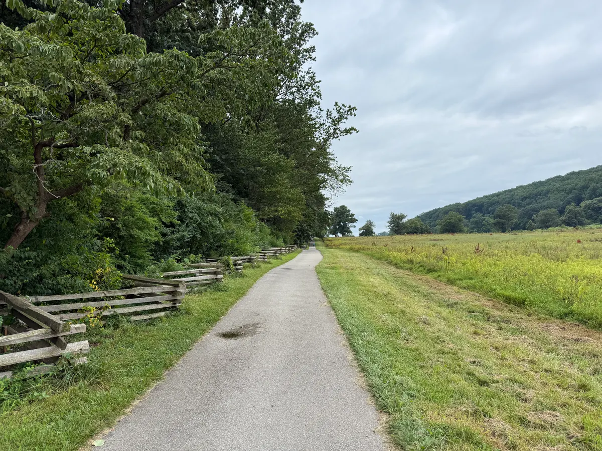
A history-minded ride, as long as the group is comfortable with hills.
Valley Forge National Historical Park offers a different kind of outing from a flat rail-trail. Its official trail map identifies the Joseph Plumb Martin Trail as a paved five-mile loop that connects historic sites. It also describes the route as hilly with limited shade.
For occasional riders, the hills deserve more attention than the word “paved.” Even a shorter ride can be demanding.
Delaware Canal towpath: a Bucks County day out

- Surface & route
- Canal-side towpath · Bucks County outing
- Riding consideration
- Confirm surface, access and bridge arrangements for your section.
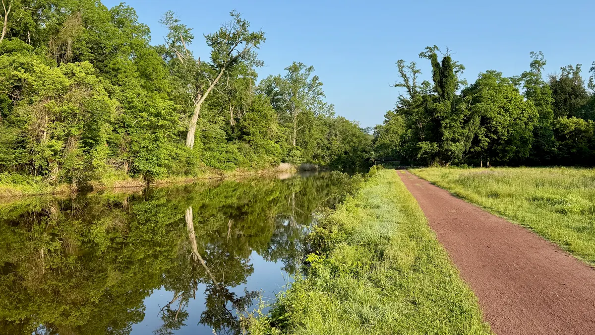
A canal-side outing with different access points to choose from.
For a canal-side outing, look at a section of the Delaware Canal towpath around places such as Washington Crossing or New Hope. Pennsylvania’s Delaware Canal State Park biking page describes the towpath corridor from Easton to Bristol and provides information about connections and permitted cycling.
You don’t need to turn the entire corridor into one ride. Choose a manageable section, a confirmed access point and a turnaround that works for your group.
Ridley Creek State Park: a designated paved route in Delaware County

- Surface & route
- Designated paved route · Delaware County
- Riding consideration
- Bikes are prohibited on the unpaved hiking trails.
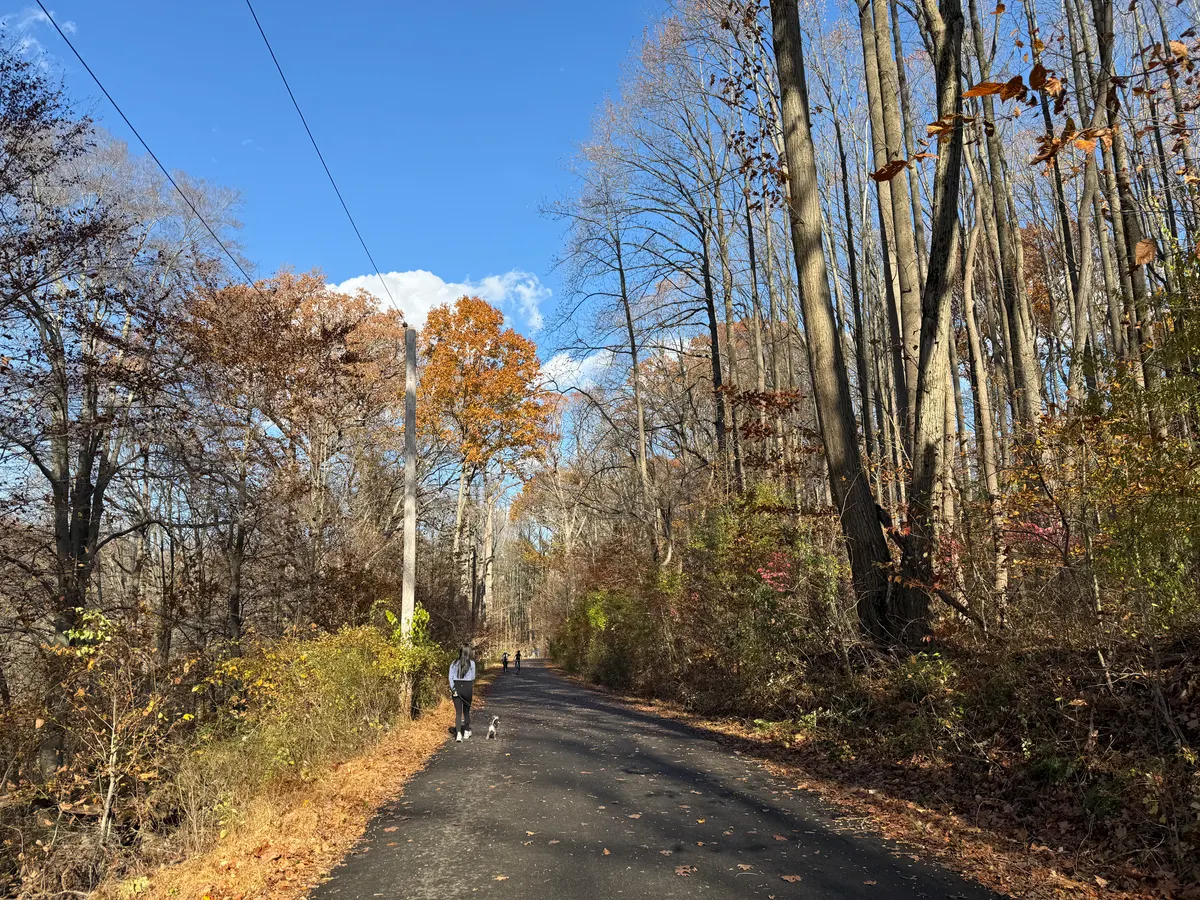
A wooded ride on the designated paved route, not the hiking trails.
Ridley Creek gives Delaware County readers another place to investigate without heading into Philadelphia. DCNR’s biking page identifies the paved multi-use route along Sycamore Mills Road and Forge Road and lists the parking areas that provide access.
The distinction between that route and the park’s hiking trails is important: bikes are prohibited on Ridley Creek’s unpaved hiking trails. Use the biking map and posted signs rather than following any path that happens to look inviting.
A few checks before any of these rides
Check the bike before you travel. NHTSA’s pre-ride checklist covers air, brakes and the chain, followed by a test ride. Bring a properly fitted helmet, water and a way to contact someone if plans change. Its bicycle-safety guide has more detail on visibility and riding predictably.
Look beyond the trail itself. How will you reach it from the parking lot or station? Does that connection involve traffic, steps or a hill? Where will you turn around? If you’re using an e-bike, check the rules for the specific park or trail; an event’s e-bike rules don’t automatically apply elsewhere.
For a transit-assisted trip, review SEPTA’s bicycle guidance and current service alerts. Don’t build a one-way ride around a train without checking the timetable, bicycle restrictions and what you’ll do if there’s no space.
If the event is what brought you here, the companion Philly Bike Ride 2026 Recap: Getting Ready for 2027 explains the past edition and the preparation questions to check for a future one.
If trail access matters in your next home
“Near the trail” can mean different things. A house may look close on a map but require an uncomfortable road crossing or a drive to reach an actual entrance. Check the route from the property, not just the straight-line distance.
If you’re comparing places to live around Philadelphia, tell me whether riding is an occasional weekend outing or something you want to fit into a regular routine. We can include practical trail access in the questions we investigate without assuming that proximity alone makes a location right for you.
This is a researched starting guide, not a firsthand route review, a live closure feed or a guarantee of safety or accessibility. Routes, permitted uses and access can change. Check the responsible trail manager and posted signs before riding. Sources checked October 19, 2026.
Sources & method
Information in this guide was checked October 19, 2026. Source links appear in the text above. Dates, prices and hours can change, so confirm with the official source before you rely on them.
Photo credits and image details
These photographs were resized and converted to WebP for this website, with no crop or content changes. Source and license links are below. Dates describe the source photos, not current conditions or future events.
- SidewalkMD · CC BY-SA 4.0The Schuylkill River Trail and Center City, looking north from the South Street Bridge in October 2022. A location reference, not a current conditions report.
- Dough4872 · CC BY-SA 4.0Forbidden Drive north of Bells Mill Road, August 2026.
- Dough4872 · CC BY-SA 4.0The Montgomery County Pennypack Trail at the former Huntingdon Valley station in June 2026.
- Dough4872 · CC BY-SA 4.0The Chester Valley Trail north of US 202 and Saulin Boulevard in King of Prussia, October 2026. Other sections have different surroundings and crossings.
- Dough4872 · CC BY-SA 4.0The Joseph Plumb Martin Trail in Valley Forge National Historical Park in August 2025. A route reference, not a Revolutionary Run event photo.
- Zeete · CC BY-SA 4.0The Delaware Canal and towpath in Solebury Township in June 2025. Check current closures and access for the section you intend to use.
- Dough4872 · CC BY-SA 4.0A wooded section of Ridley Creek State Park’s multi-use trail in November 2025. This is not one of the park’s hiking-only paths.